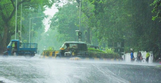
Bhubaneswar: Odisha is gearing up for light to heavy rainfall for a week from January 7, a phenomenon triggered by western disturbance, SOA’s Centre for Environment and Climate (CEC) said on Tuesday.
The high intensity system is likely to affect the state between January 7 to 14 with light to moderate rain forecast for the period from January 8 to 9 and January 13 to 14 and moderate to heavy precipitation between January 9 and 14, a CEC bulletin said.
Moderate to heavy rainfall was forecast between January 9 and 12 for western Odisha while similar precipitation could be experienced in the northern and coastal districts between January 10 and 14.
Rainfall of moderate to heavy intensity may occur between January 11 to 13 in the northern districts and between January 11 and 14 in the coastal belt, it said adding western Odisha might experience thunderstorm or hailstorm with heavy rain at one or two locations.
Southern districts might also experience light to moderate rain accompanied by thunder between January 9 to 14.
As the system would move from west to east, the intensity of rainfall would change from western Odisha to the coastal belt accordingly, it said.
The western disturbance, the main weather bearing system experienced in major wheat producing states in northwest India during the winter rarely affected eastern India or had very low intensity impact. But western disturbance caused moderate to heavy rainfall in Odisha and neighbouring states in the last week of December last year. The same phenomenon is going to be experienced next week, the bulletin said.
Meanwhile, night temperature would rise from January 5 and remain 3 to 4 degrees Celcius above normal till January 15 and day temperature would show an upward trend simultaneously under the impact of the approaching western disturbance. Cloudy sky condition might prevail from January 7 to 14, the bulletin said.
 Update Odisha-Latest Odisha News I Breaking News Get latest news on Odisha, Govt. Jobs, OSSC, OPSC, Entertainment, Crime, Sports, and Education


