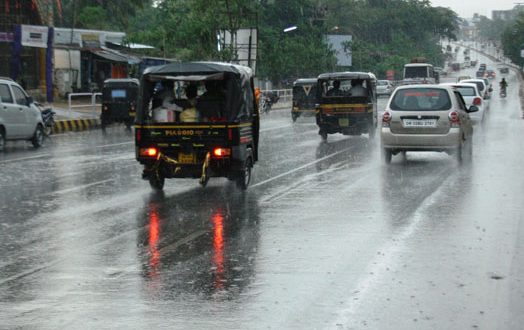
Bhubaneswar: Even as the depression formed over Odisha weakened into a low pressure area and lay over eastern Madhya Pradesh and its neighbourhood, a fresh low pressure area was expected to form over north Bay of Bengal on August 13, SOA’s Centre for Environment and Climate (CEC) said on Wednesday.
The new low pressure area could intensify into a well marked low pressure area over north Odisha coast on August 14 and move in a westerly direction. Under its influence, moderate to heavy rainfall with heavy to very heavy precipitation at a few places could be experienced over north coastal and interior districts of the state, it said.
The districts which could be impacted included Jagatsinghpur, Kendrapara, Bhadrak, Balasore, Jajpur, Khurda, Cuttack, Dhenkanal, Keonjhar, Deogarh, Angul, Kandhamal, Sambalpur, Kalahandi, Nuapada and Nabarangpur from the night of August 12 and continue for the next 24 hours.
The intensity of the rainfall may become heavy to very heavy and shift towards the western Odisha districts of Sambalpur, Bargarh, Balangir, Nuapada, Kalahandi, Sonepur, Boudh and Deogarh and also Kandhamal, Nabarangpur and Angul on August 14. The rainfall is expected to decrease from August 15 though light to moderate precipitation could be experienced across Odisha during the day, the CEC said.
Meanwhile, the depression which had become a low pressure area was likely to move in a west-north-westerly direction and weaken gradually. Under its influence, light to moderate rainfall with heavy rainfall at one or two places would continue over northern and western Odisha till August 11.
Another spell of rain may occur over the state on August 18 and 19 due to cyclonic circulation along the coast but it might not support the formation of low pressure area, it said.
 Update Odisha-Latest Odisha News I Breaking News Get latest news on Odisha, Govt. Jobs, OSSC, OPSC, Entertainment, Crime, Sports, and Education


